Section 3 Notes
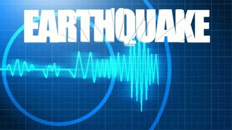
Monitoring Earthquakes
Seismograph : Seismic waves cause the seismograph’s drum to vibrate. But the suspended weight with the pen attached moves very little. Therefore, the pen stays in place and records the drum’s vibrations.
Geologist monitor the faults by placing instruments they have developed near the faults. This will measure changes in elevation, tilting of the land surface, and ground movements.
List of the monitors Geologist use to monitor fault lines:
•Tiltmeter – measures tilting or raising of the ground
•Creep meter – a wire is stretched across a fault to measure horizontal movement of the ground; on one side the wire is anchored to a post; on the other side the wire is attached to a weight that can slide if the fault moves. They measure how much the fault has moved by the location of the weight.
•Laser-Ranging Device – a laser beam detects horizontal fault movement ; the beam travels to a reflector and back, then records the distance.
•GPS Satellites – Earth-orbiting satellites (Global Positioning System) measures changes in elevation and tilt of the land as well as horizontal movement along a fault
Using Seismographic data:
The data that geologists receive from seismographs and fault-monitoring systems can help predict earthquakes and to study faults lines.
